Mapping POI Data Use Cases and Common Applications
As a geospatial developer, your customers rely on you to provide accurate, up-to-date maps they can use to find and understand specific locations. Learn some of the most important ways point-of-interest (POI) data is used in the GIS industry below.
6 Use Cases for Mapping POI Data
Creating accurate maps is vital for business continuity, financial health and more. Here are some of the top use cases for points of interest mapping across various industries.
1. GPS Systems
Now that almost everyone carries a smartphone, more people use global positioning systems (GPS) to get around than ever, and GPS companies rely on accurate map data to serve their customers.
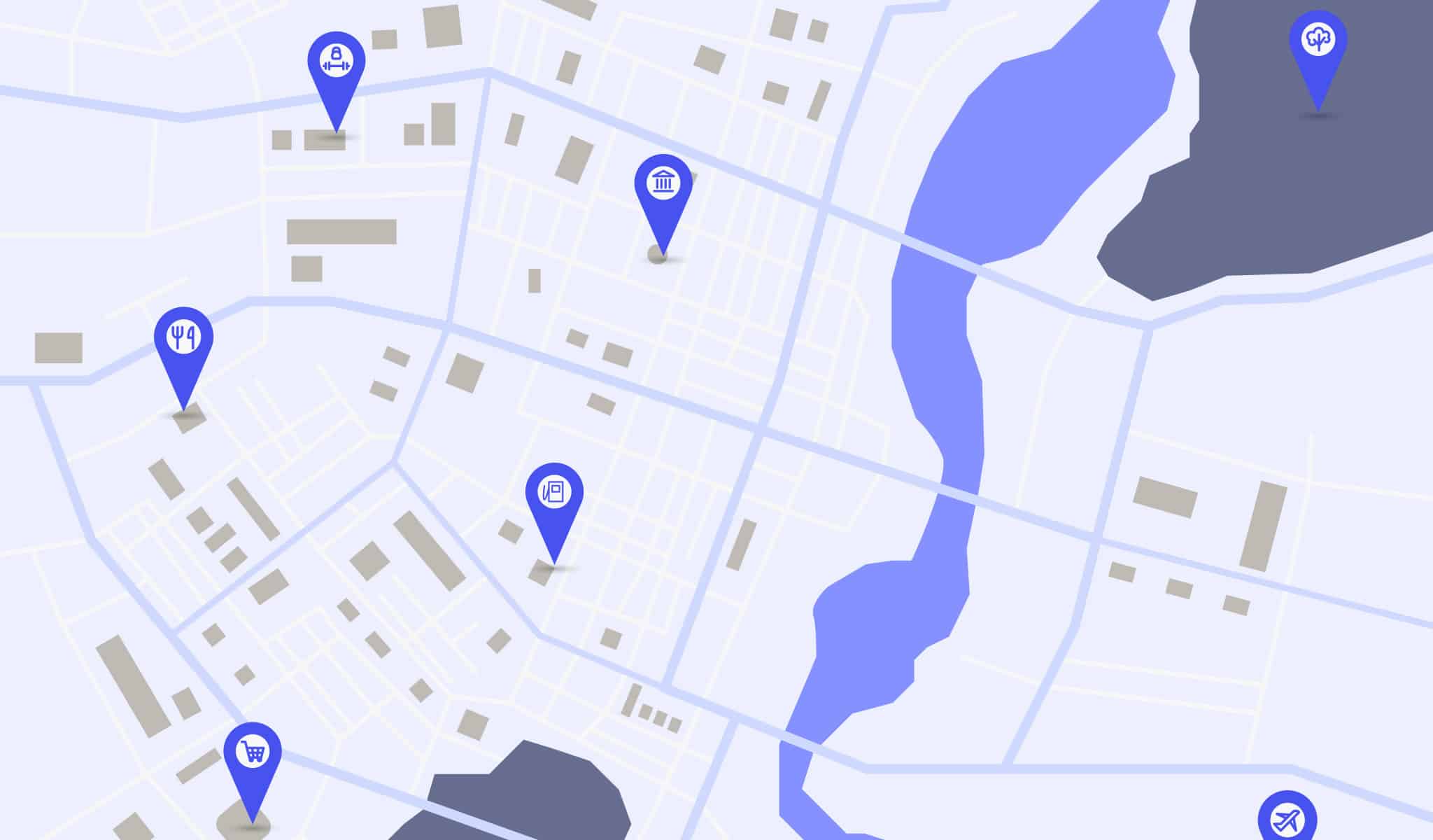
Adding more data about specific places on a map, such as the following, makes it easier for people to find their way around new places:
- Retail centers
- Hospitals
- Public parks
- Government offices
- Restaurants
- Entertainment venues
- Tourist attractions
This information also gives end users the ability to uncover hidden places within their communities, which improves the customer experience and opens them up to new adventures.
2. Ride-Booking and Transportation
Both ride-booking services and public transportation organizations rely on GPS data to get customers to their destinations on time. When that data doesn’t reflect changes in an area, it becomes difficult to provide the level of service people expect.
Digital maps containing the most up-to-date POI data help these companies by:
- Reducing errors like missed turns.
- Helping drivers avoid areas prone to traffic jams.
- Boosting company reputation and enhancing customer experiences.
3. Urban Planning and Real Estate
Construction and real estate companies need to monitor trends in population and business movement to predict which areas are most likely to experience significant growth.
Digital mapping applications that include POI data provide these companies with important information such as:
- Which brands are setting up in an area.
- Which specific demographics these brands attract.
- What kinds of architecture are already in an area.
This research can help developers and real estate firms determine the best places to build and how they can make new structures blend in with their surroundings.
4. Logistics and Supply Chain Optimization
Data-driven decision-making is essential for mitigating risks and improving operational efficiency. Here’s how a POI map can help third-party logistics companies and supply chain risk managers:
- Optimize route planning: Employees can use your maps to plan the most efficient shipping routes and itineraries, which can help them improve their on-time delivery rates.
- Analyze local markets: Knowing where competitors and other local businesses are located can help supply chain companies decide where to set up new facilities.
- Improve risk management: An up-to-date view of all the potential risks a driver might encounter on a job can help risk managers boost safety and minimize losses.
5. Gain a Competitive Advantage
The navigation and mapping space is highly competitive, and standing out from the industry front runners is one of the best ways to boost profitability. One way to differentiate your business is to provide more accurate data.
When customers can reliably navigate new places and find the information they’re looking for from a map company, they’re more likely to choose that company again.

6. Cost Savings
Powering GIS platforms with bad data can result in costly errors, especially for companies that require real-time location updates. POI data in digital mapping can help your customers boost their profitability by:
- Reducing refunds: When customers don’t get their products on time, they’re more likely to cancel the requested service or ask for a refund. POI maps enable highly accurate route optimization, which significantly lowers the risk of refunds cutting into the company’s cash flow.
- Streamlining resource allocation: Businesses can use POI-based maps to improve their budget allocations based on local performance, population data and more.
- Improving customer targeting: Geofencing and other location-based marketing tactics only work when they have accurate information to go off of. Providing up-to-date POI data enables marketing teams to reduce the risk of losses due to ill-informed campaigns.
How to Find Good POI Mapping Datasets
Maps with point-of-interest data are essential for many business decisions. The challenge is finding a reliable source of quality POI data, especially when most open-source datasets are riddled with errors. Here’s what to do when choosing a data provider:
Consider Your Goals
To make your investment worthwhile, you need to have a clear idea of what you want to do with this data. Which datasets do you need to achieve these goals, and do you need more than POI data?
Understanding what a dataset can and can’t tell you is essential for making an informed investment. By comparing a company’s offerings against your goals, you can determine what level of coverage you need.
Request a Data Sample
Free data samples are often a sign of a reliable company, as they provide clear evidence of the data’s accuracy and reliability. Reach out to your chosen data provider to request a sample of their data and test it in experimental applications. Is it accurate? Does it serve your purposes?
If you have any questions about the data, its sources or how the company validates it, feel free to contact a representative for more information.
Evaluate the Source
Before signing on with a data provider, it’s important to make sure they’ll be a suitable partner. These criteria can help:
- Wide coverage: Look for a provider that offers global coverage to ensure you have the data you need for every location you need to map.
- Flexible licensing: A flexible licensing plan ensures you only pay for the data you use, improving your return on investment and preventing information overload.
- Verification: Does the provider manually verify their data with human experts, or do they rely on their technology to do all the work? Human confirmation is essential for ensuring you have the most accurate data available.
- Dynamic updates: Your provider should update data frequently to reflect changes in an area, such as business relocations and new construction. A provider that offers near-real-time updates is ideal.
Enhance Your Mapping Accuracy With dataplor

If you’re looking for a source of POI data you can trust, dataplor is here for you. Our proprietary AI-based technology allows us to rapidly edit our datasets any time an area experiences changes, enabling near real-time updates on locations around the world. Our in-house team of data analysts reviews all our datasets before publishing, so you can count on us to provide the most accurate data at any given time.
See how our proprietary methods can help your company scale operations, enhance revenue and provide better service to your customers. Contact us today to request your free data sample.


